Topographic Maps
|
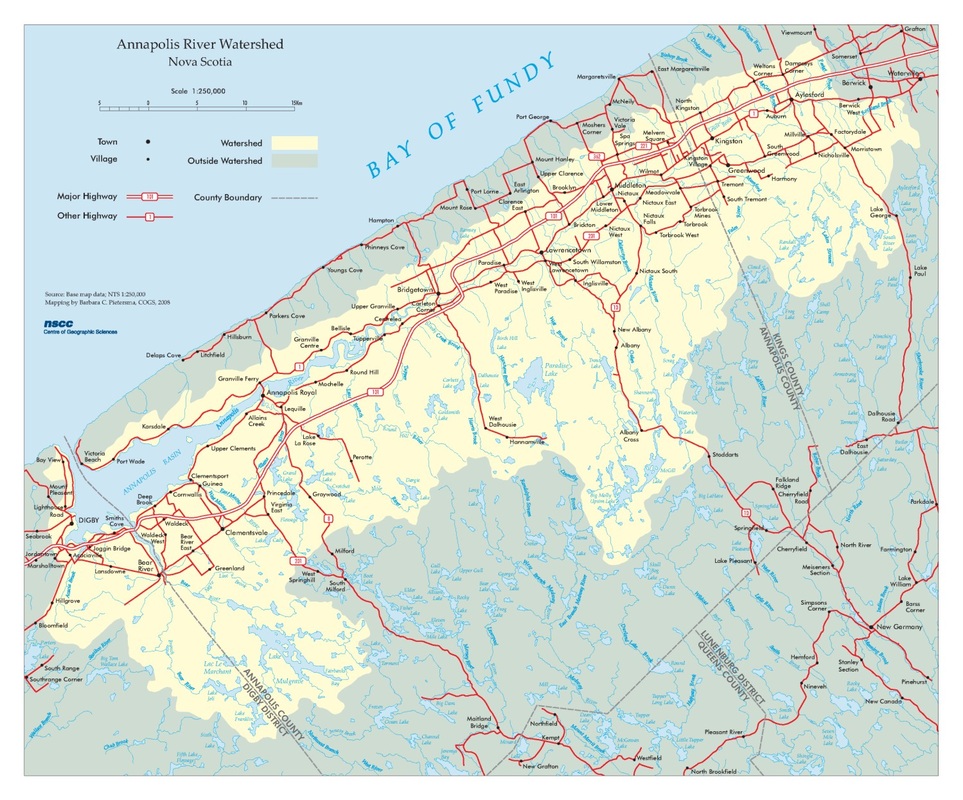
Annapolis River WatershedCreated in CorelDraw X4
This project was primarily a study in text placement and layer management. It also included CorelDRAW mapping techniques such as :
|
|
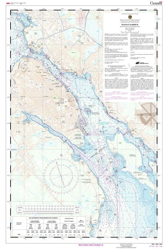
Halifax Harbour Nautical ChartCreated in ArcMap 9.3.1
This is a hybrid nautical chart of the Halifax Harbour. It is hybrid in nature as it includes substantially more land base data than traditional nautical charts. Chart data was extracted from the 2007 S-57 (International Hydrographic Organization). Four charts were used to create the chart: 4201-Bedford Basin, 4202-Halifax Harbour, 4202I-Ocean Terminals Inset and 4203-Halifax Harbour Approaches. Cartographic colour and symbol specifications supplied by IHO and CHS were used as reference. |
|
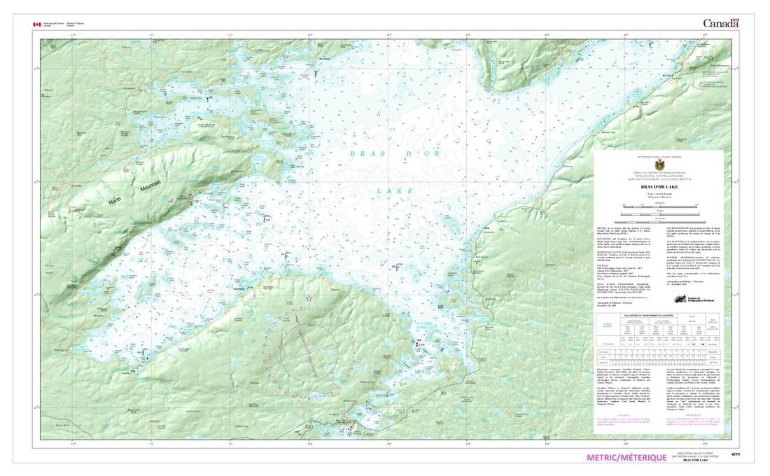
Bras D'or Lake Nautical ChartCreated in ArcMap 9.3.1
Also created to IHO and CHS cartographic colour and symbol specifications, these maps required hundreds of labels. For example there are labels to indicate the colour, light type and name of buoys. Labeling scripts proved very useful to automate the labeling process. |
||
